
That’s exactly what our previous experience with central Utah’s Paiute Trail system has been like—until last summer.
We’ve ridden parts of this truly amazing trail system before but not to the extent we did last summer when we embarked on a two-day 200-plus mile ride that exposed us to some of the best riding—and scenery—in Utah. Even then, we didn’t ride every last mile of the famed Paiute Trail and we’re hungry for more. The ride last summer just whet our appetite for more.
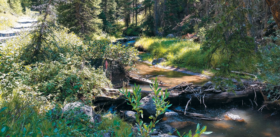
Day one of our ride had us leaving Beaver, heading north and then east up into the Tushar Mountains on Trail 05, riding along Three Creeks (very scenic) past Three Creeks Reservoir, up Utah Highway 153 for a short way, then past Puffer Lake, on to some fun and technical trails and down into Junction before heading north to Marysvale to spend the night.
The second—and longer—day (mileage-wise) had us leaving Marysvale and heading east across some ranch land and then up into Dry Creek Canyon (Trails 77 and 02), making our way past Manning Meadows Reservoir, then up to Monroe Peak (elevation 11,226 feet) and back down to Monroe where we ate lunch in the city park. From Monroe we rode to Joseph then south on Highway 89 to Big Rock Candy Mountain near Hoovers River Resort (during a monster rainstorm) then west on 374/74 to 113 to 123/01 then back to our pickup at the fairgrounds in Beaver.
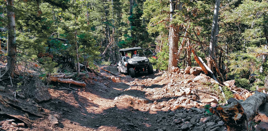
Leaving Beaver, we crossed ranch land and high desert (saw lots of deer) before a fairly steady and steep ascent into the pine-forested mountains on a very rocky stretch of Trail 05. The rock-strewn trail is fairly tight in some spots as the trees get dense and crowd the trail. We liked the mix of trails our guide Dustin Sweeten (www.powerhouseusa.com) included in both days of riding. There were mild stretches and steep, twisty stretches (very tight turns) and lots of great scenic viewpoints.
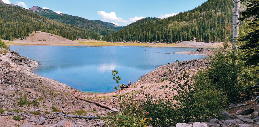
We had three favorite stretches of trail on day one. The first is on the Beaver side of the mountains after you start climbing into the forest over the rocky parts of the trail. It’s challenging, scenic and the trees offered some appreciated shade from the lower, open stretches of trail. The second is a short stretch, but fun and very scenic. It’s the part that starts after crossing Utah Highway 153 at the Merchant Creek trailhead and travels along Three Creeks to Three Creeks Reservoir (which was pretty much dry when we passed by) and back up to Utah Highway 153. There are three bridge crossings over Three Creeks.
The third stretch was a steep, twisty 60-inch trail (part of Trail 516) that was great fun. It weaved in and out of the trees, offering great views of valleys on the east side of the Tushar Mountains. While it was very scenic, it was very steep in spots and took some planning so that we didn’t have too many three-point turns on the tight switchbacks—meaning we needed to pay attention to the trail and not gawk too much at the scenery.

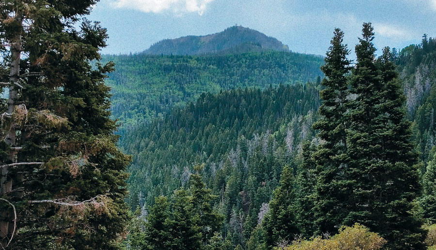
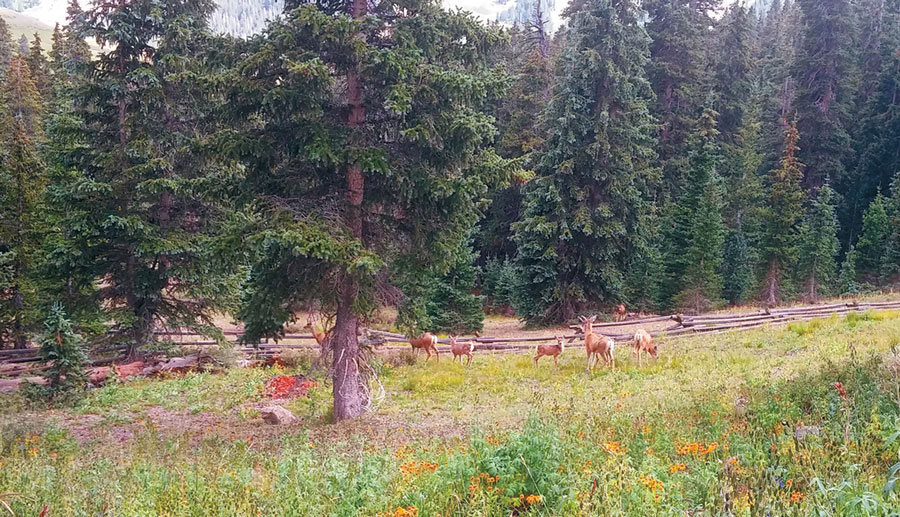
It was a little chilly on top of the mountain on the first day of riding (this was August, by the way) but not so much we needed a jacket. We definitely needed a jacket on day two. After driving across high desert for a few miles we went up Dry Creek Canyon and the temps dropped. It was spectacularly beautiful in the canyon, where the dry desert at lower elevations gave way to lush, green forests as we gained elevation. The trails on the east side of U.S. Highway 89 weren’t particularly tough but they weren’t flat, straight arrows either. There were plenty of twists and turns.
After a brief stop near Manning Meadows Reservoir (again, very scenic), we headed to Monroe Mountain and the lookout. It is a fun climb up the mountain as you basically start on one side and wrap around to the other side as you gain elevation. There are lots of open vistas to see the surrounding area and eventually we climbed just past the treeline and the views were unobstructed in all directions. We could see hundreds of miles and while the smoke from the forest fires created a haze, it was still relatively clear.
It is definitely worth it to make a side trip up to the top. Consider this. Manning Meadow Reservoir sits at about 9,771 feet, which means you gain nearly 1,500 feet in elevation as you ascend Monroe Peak. Even from the turnoff from Trail 78 up to the top of the mountain, it’s nearly a thousand-foot climb.
After soaking up all the views from the top of the mountain we dropped down to the town of Monroe, a descent of nearly 6,000 feet. And the trail down the mountain was full of switchbacks, stunning views and great riding. The temps also climbed as we dropped off the mountain. While the trail is smooth and not difficult, we had to check our speed because if we blew one of the switchbacks it wasn’t going to be pretty.
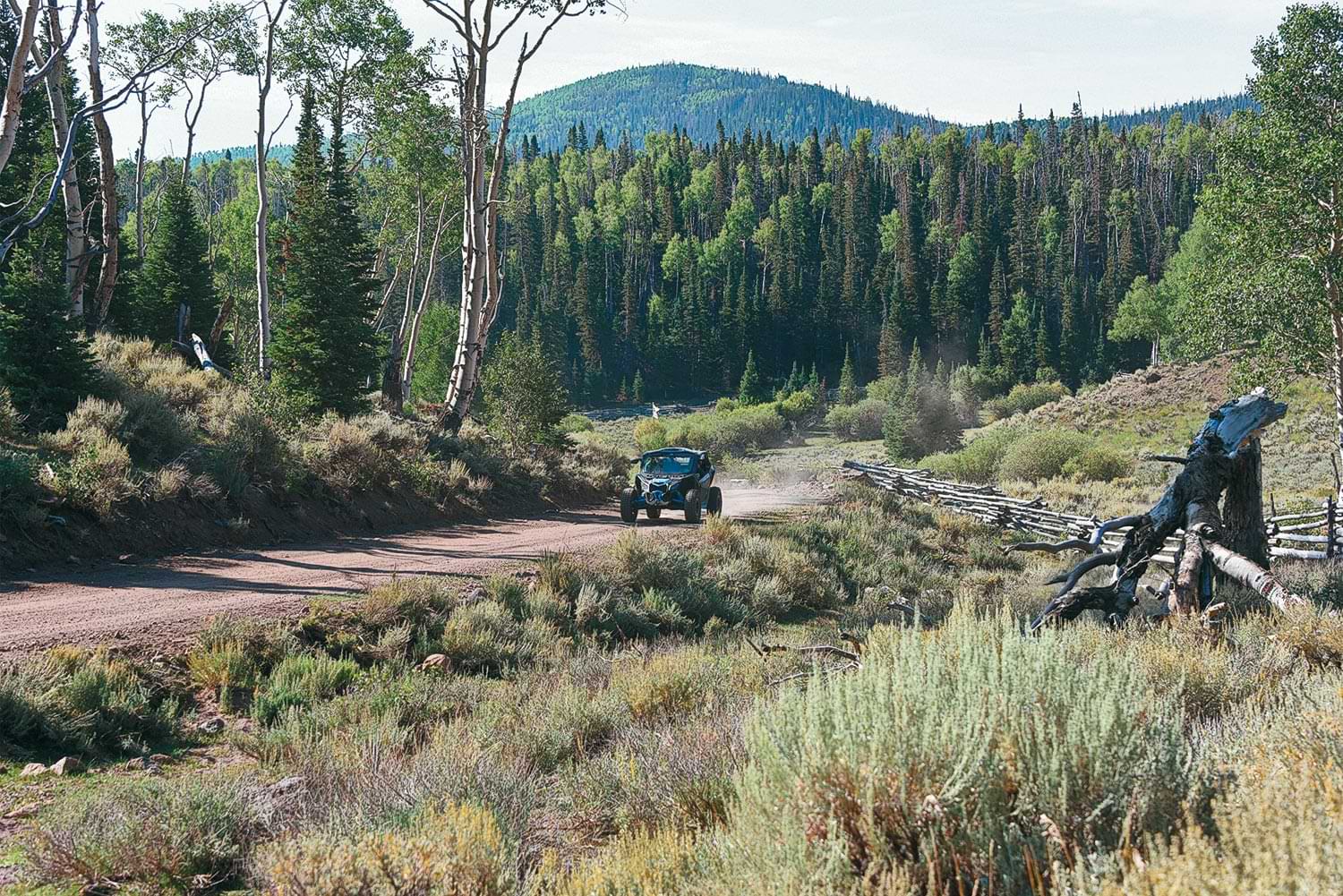
After drying out a bit, we headed up Trail 474—one of our favorites in the Paiute system—along Deer Creek. It’s challenging in some spots and scenic all along the way. Recent storms had obviously washed lot of rocks and debris down Deer Creek and taken out some parts of the trail, but it was all repaired by the time we rode through. The evident damage, though, was pretty impressive.
When you come to where Trail 474 “Ts” with Trail 01, you can turn right and go to Silver King Mine where there are lots of mining remnants and some walking paths to see the old mine. We’ve been there before and it is interesting. This trip, though, we turned left onto Trail 01 and climbed to the top of Mount Belknap (elevation 12,139 feet) as we headed back to Beaver. We hit intermittent rainstorms much of the way back to Beaver so there wasn’t a lot of sightseeing going on. We did see lots of deer on this ride and, on a previous ride over Mount Belknap, a herd of mountain goats. You are above the treeline on the upper portion of the trail over the mountain so the views are incredible and unobstructed. The rain had stopped momentarily when we reached the summit so we did get some great views for a few moments.
It’s a fun descent down the west side of the mountain (lots of twists and turns), past the aptly named Mud Lake, to Big John Flat. From there we made a beeline back to Beaver, ending an awesome two days of feasting on all the Paiute Trail has to offer.
We know there’s more to be had though, as the Paiute Trail is officially listed as a 275-mile loop with another thousand miles of side trails.
Full-Service Town Beaver, Fillmore, Marysvale, Richfield, Monroe
Nearest Airport Cedar City (54 miles from Beaver); Salt Lake City (199 miles from Beaver)
Getting Started Beaver Country (www.beavercountry.com); Sevier County (www.sevierutah.net); Millard County (www.millardcounty.com)
Getting There There are numerous starting points to the Paiute Trail, most of which are located just off Interstate 70 and Interstate 15 as well as U.S. Highway 89. Utah is very ATV/side-by-side friendly and if your vehicle is street legal, you can ride from (and through in some cases) towns surrounding the trail system.
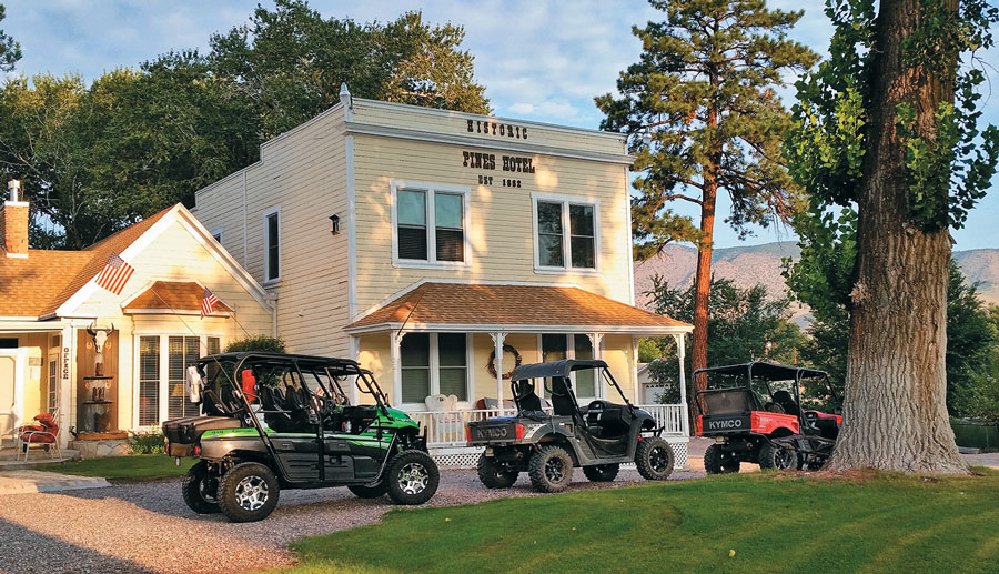
Bedding Down We stayed in Moore’s Old Pine Inn (435-326-4565 or www.oldpineinn.com) in Marysvale. The Inn is Utah’s oldest hotel and has had such famous guests as Zane Grey and Butch Cassidy. The are rooms in the Inn as well as cabins. A full breakfast comes with rooms in the Inn but NOT with the cabins. There are numerous other lodging options in the communities listed above.
Eating Out There are several options for dining in all the communities listed above. Do a little homework to find where you might like to dine out. Just know that in the area’s smaller communities, such as Marysvale, places don’t stay open very late.